|
At a glance:
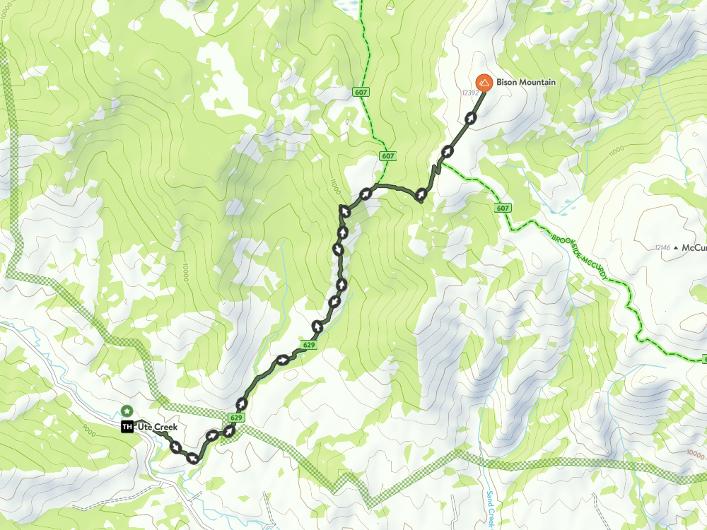
Distance: 11.8 miles round trip
Difficulty: Hard to pretty darn hard, but awesome. Ascent: 3,911 ft Map Link: Bison Peak Google Maps Link: Ute Creek Trailhead Dogs: Yes Bikes: Nope |
Bison Peak
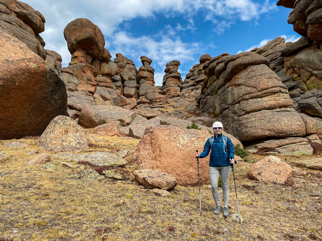
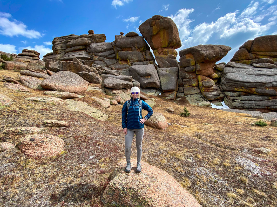
Bison Peak is a strenuous hike with tremendous views and rock formations as your reward for a seriously tough climb. Bison peak is the highest point in the Lost Creek Wilderness, and the views are wonderful. In truth, there are lots of peaks, rock formations, and other places to explore beyond Bison Peak. Most people are so tired by the time they get to the top, that exploring further is not on the menu, but its worth spending some time up here in the clouds if the weather permits.
|
Bison peak
getting there:
Address: Ute Creek Trailhead 9814 Carryall Rd., Jefferson, CO 80456
1) From Colorado Springs, head up toward Woodland Park on 24. Go on past Woodland Park, Divide, Florissant, and Lake George.
2) Once you pass through Lake George, you will turn right on Tarryall Rd. Follow Tarryall for 20.8 miles and the Ute Creek Trailhead parking lot will be on the right hand side of the road.
The Hike:
This is a solid Colorado hike. I have done it in one day a couple of times, and spent the night once as well. Spending the night is nice, but you still have to hike up the steep parts with your heavier pack. A day trip is very doable, just be prepared for a true all day hike with plenty of water, food, and gear if the weather gets Colorado-ish.
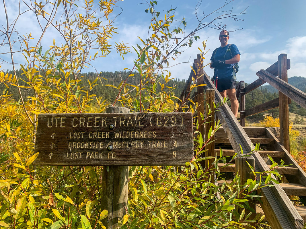
From the parking lot, you will cross over a bridge spanning Tarryall Creek. Head down Ute Creek Trail (#629) as it parallels the Creek.
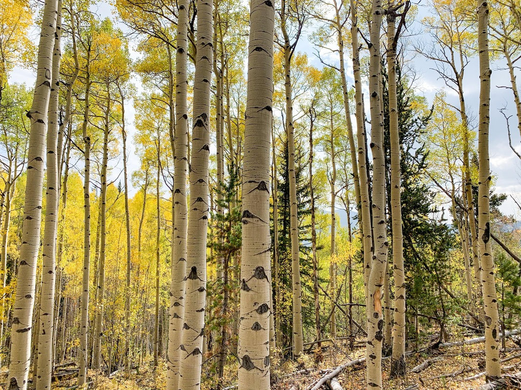
After about 1 mile, you will head up the Ute Creek drainage and into the Lost Creek Wilderness. The trail gets steep pretty quickly as you head into Aspen and Pine forests.
You will climb a solid 3 miles once you cross the Lost Creek Wilderness boundary. It gets pretty steep along this section of trail and you are mostly in forest the whole time.
Once you feel like you will never reach the top, you will intersect with the Brookside Mccurdy Trail. Take a right (East) and continue along this trail for about a mile. There are some good camping spots along this stretch of trail.
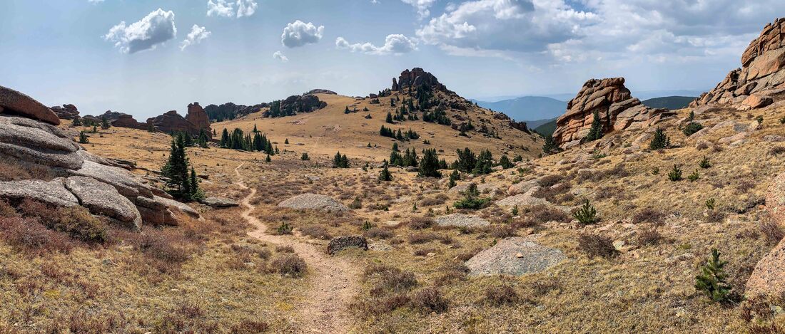
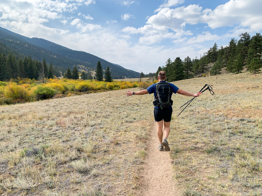
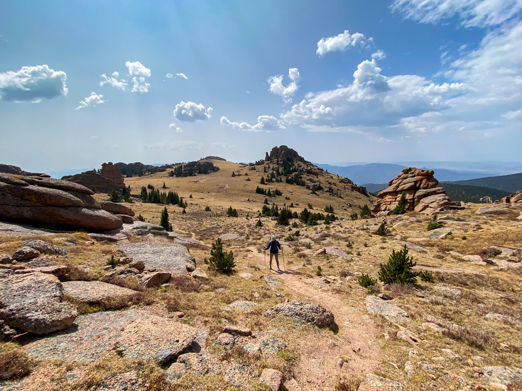
You will leave the dense forest behind and take a couple of switchbacks until you crest the ridge and find yourself into a wide open expanse. This is a great place to play frisbee, and also just admire the views and the wide world before you. It can get pretty windy up here and it is often much colder than the dense forest you just left.
Once at the top, you will leave the Mccurdy trail and cut cross country on travel worn trails toward a huge and cool rock formation. You can go through this or around it. Going through it is quite difficult and requires a lot of climbing.
Once around the rock formations, you will see the peak in the distance. It seems close, but its still a ways off and there is some serious elevation gain to still be done. By the time you get there, you will be ready for a well deserved break and likely lunch.
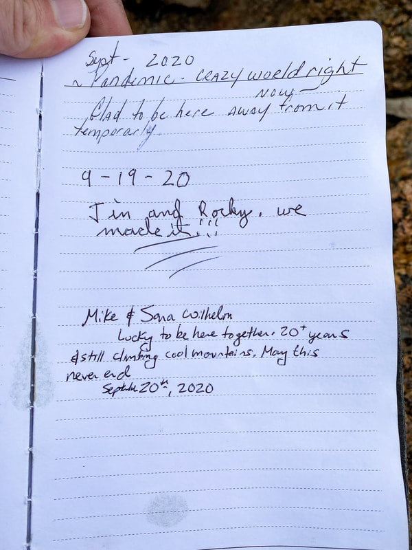
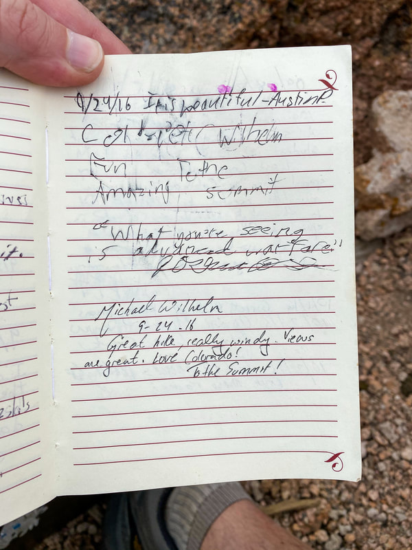
Sign the summit log and head back down.

