|
At a glance:
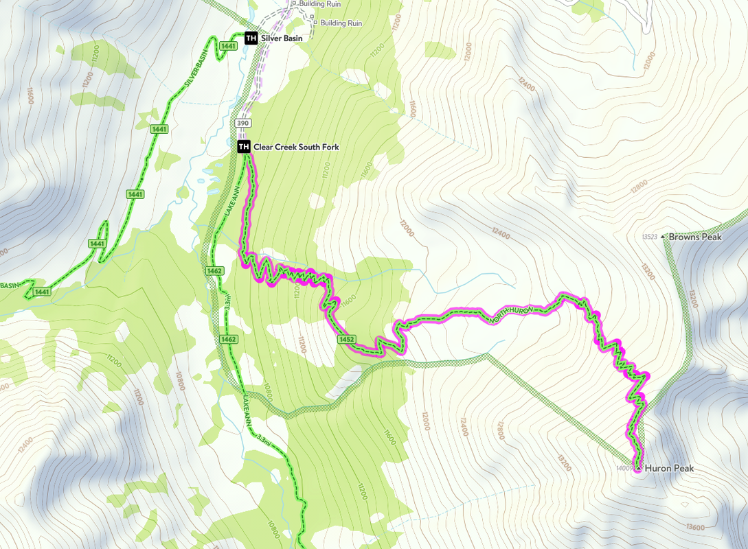
Distance: 6.5 miles
Difficulty: Class 2 Ascent: 3,500 feet Map Link: Huron Peak Website: 14ers.com Huron Peak Google Maps Link: Huron Peak Dogs: On a leash |
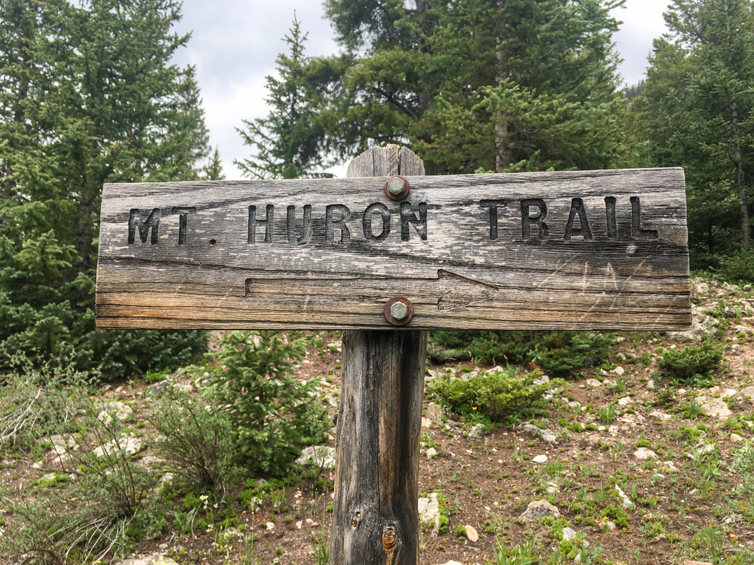
Huron Peak
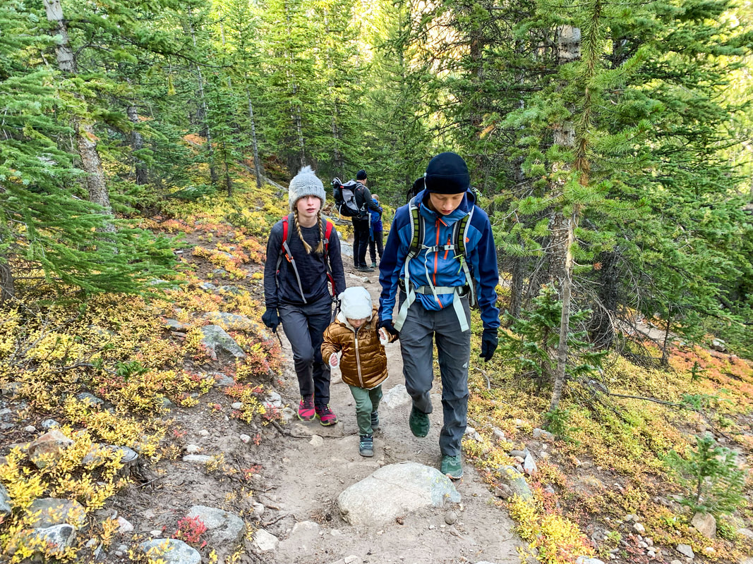
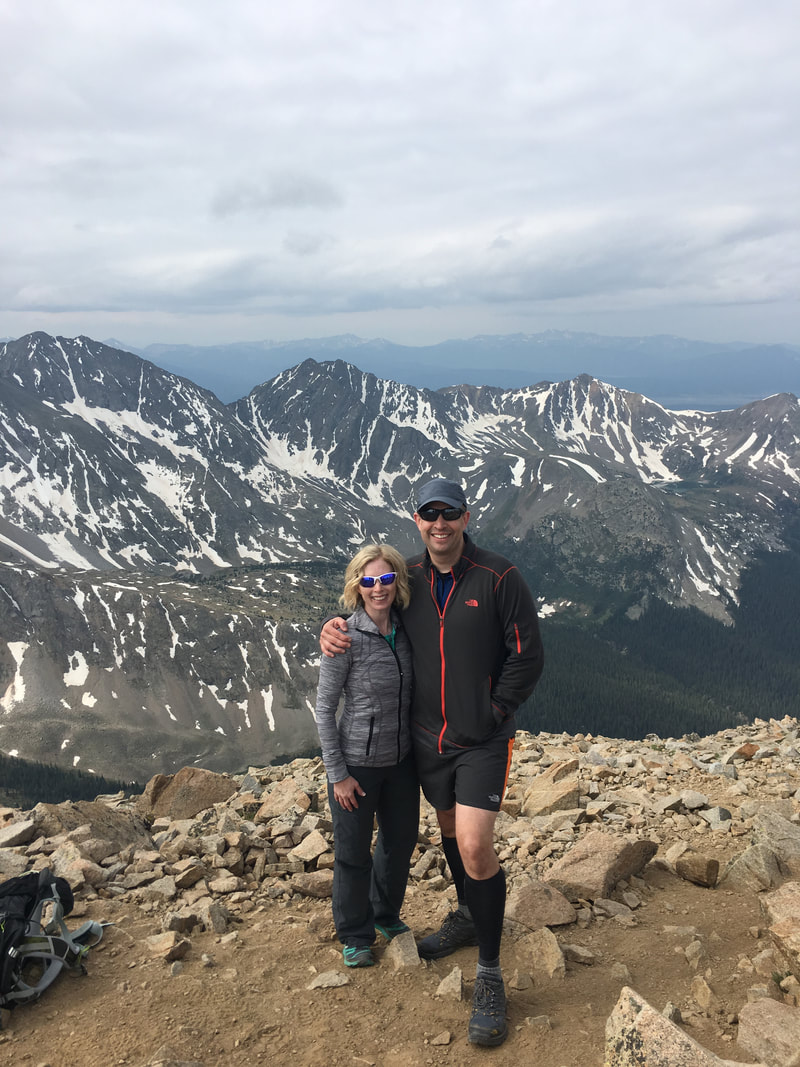
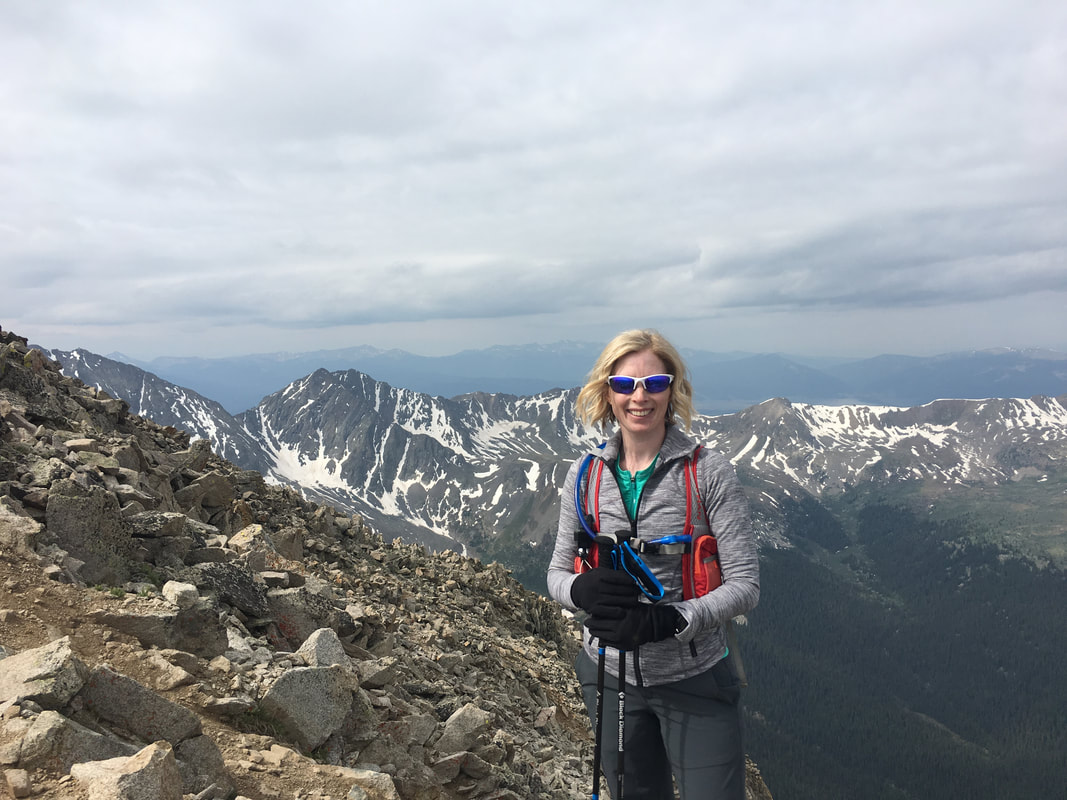
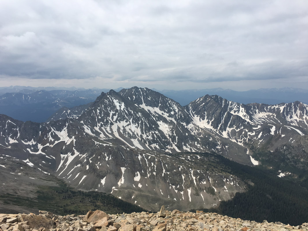
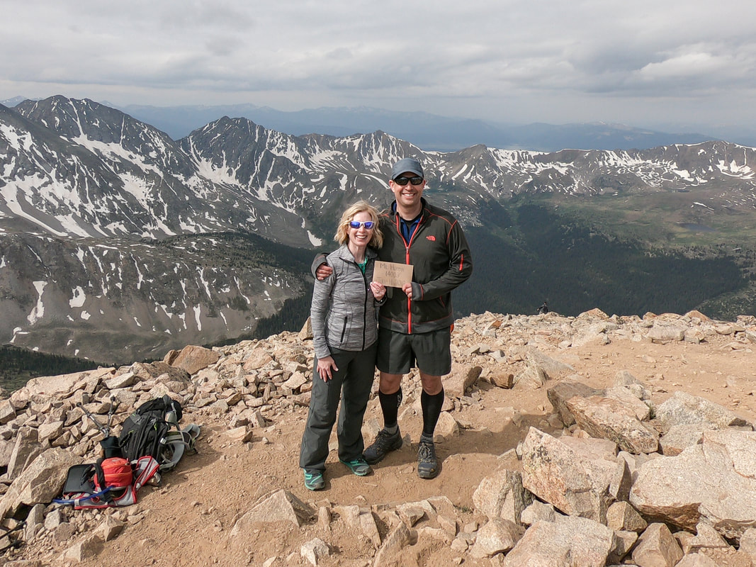
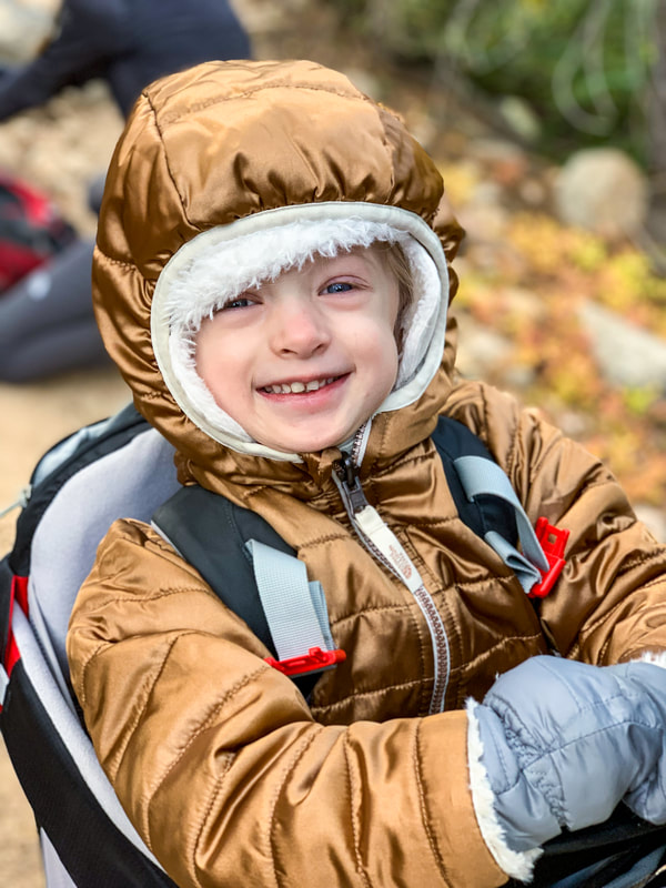
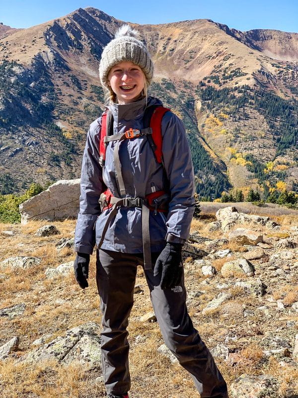
Huron Peak is one of our favorite 14ers. Camping down by the creek is phenomenal, the hike starts out in a beautiful forest, there are amazing views of the three apostles, and the high meadow makes you feel like you are in the Alps instead of slogging up a gravel mine. The last pitch is a bit of a bear, but so are all these mountains and the view at the top is phenomenal on a clear day. We did hike it once in October during what felt like a hurricane with Madeline on my back. It about did me in, but it was still worth it in the end....I think.
|
Huron peak
getting there:
Address:
1) From Colorado Springs, head up through Woodland Park, passing through Divide, then Florescent, Lake George, and Hartsel.
2) Keep going until you get to the 24 / 285 intersection and take a left to follow 24 to Buena Vista.
3) Once you get through the canyon and are in the same valley as Buena Vista, take a right to follow 24 to Buena Vista. It's very confusing and whoever designated these roads clearly got a C- in cartography.
4) Go through Buena Vista and head toward Twin Lakes.
5) When you get to Clear Creek Reservoir, take a left onto county road 390 and follow that past the Missouri Gulch Trailhead until you get to the Winfield mining camp. Follow 390 to the left and make sure at this point that you have a 4WD vehicle. If not, go back home and get one.
6) Follow the 4WD trail until you get to the Clear Creek South Fork area and find a spot to camp. Enjoy!
The Hike:
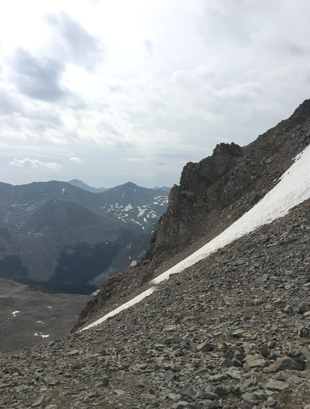
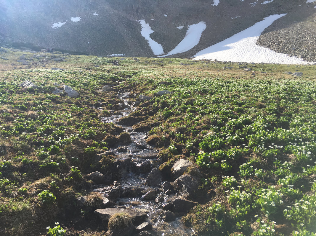
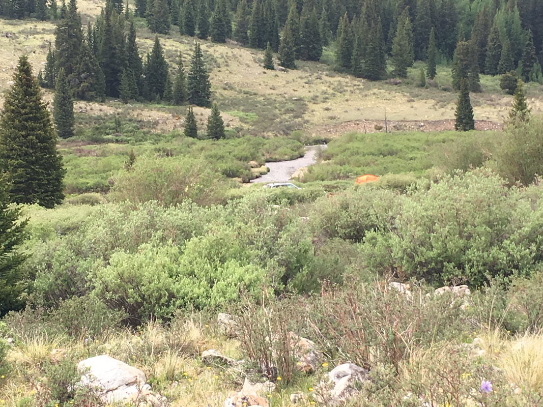
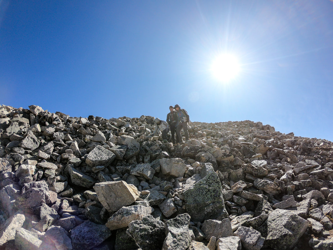
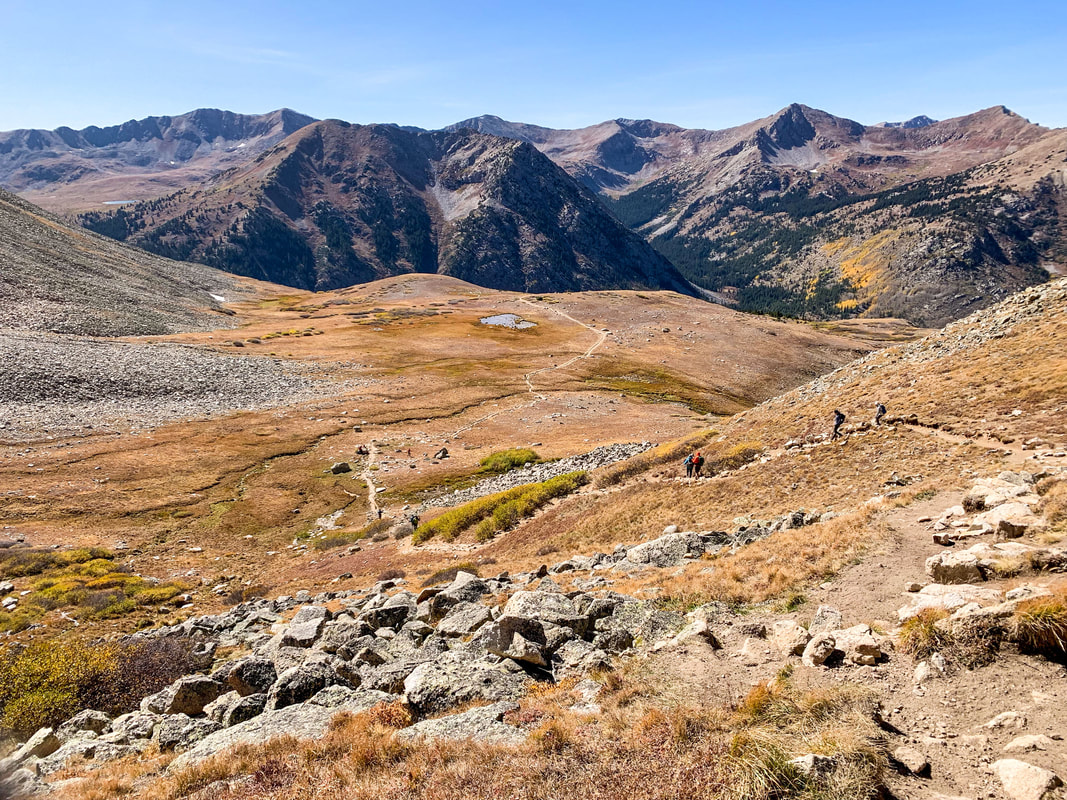
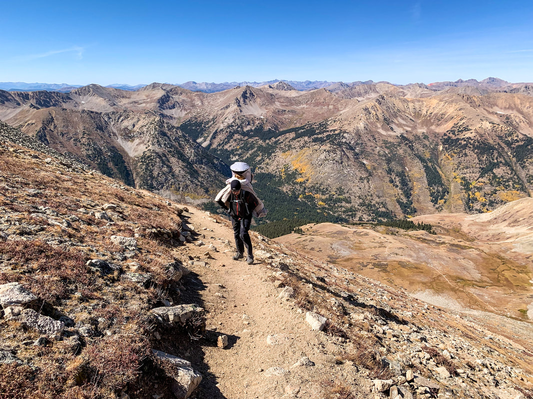
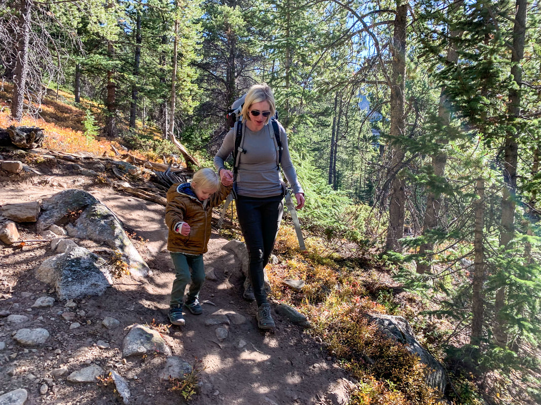
From the trailhead, ascend into the forest and listen for the stream. Once you cross the stream, you will then switchback endlessly through the trees. At about 11,700 feet, there will be a little window overlook of the three apostles, which grace your view at different times during this ascent. At about 11,900 feet you will find yourself at the start of a beautiful mountain basin which is covered in flowers in the summer. You will head East across this beautiful area toward the upper slopes of the mountain. From here, ascend up the switchbacks and rocky slopes until you get to a little ridge on the North side. There's a good outcropping of tall rocks here that makes for a good wind barrier. From here, you will head west onto the northwest face and ascend a steep rocky pitch. If you are carrying a 2 year old on your back, and it's really windy, be prepared to blow away. Otherwise, scramble to the top and enjoy the magnificent view.
|
|
|
|
|
|
|
|