|
At a glance:
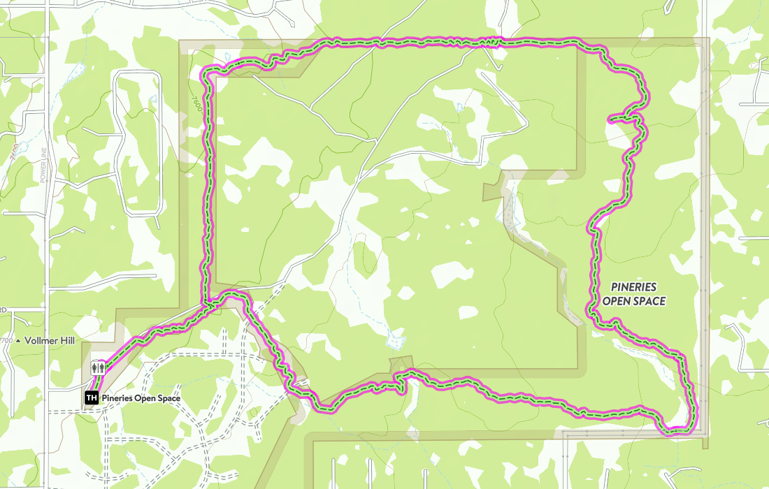
Distance: 7.9 miles
Difficulty: Easy Ascent: 343ft Map Link: Pineries Trail Loop Google Maps Link: The Pineries Dogs: On a leash Bikes: Yes |
The Pineries:
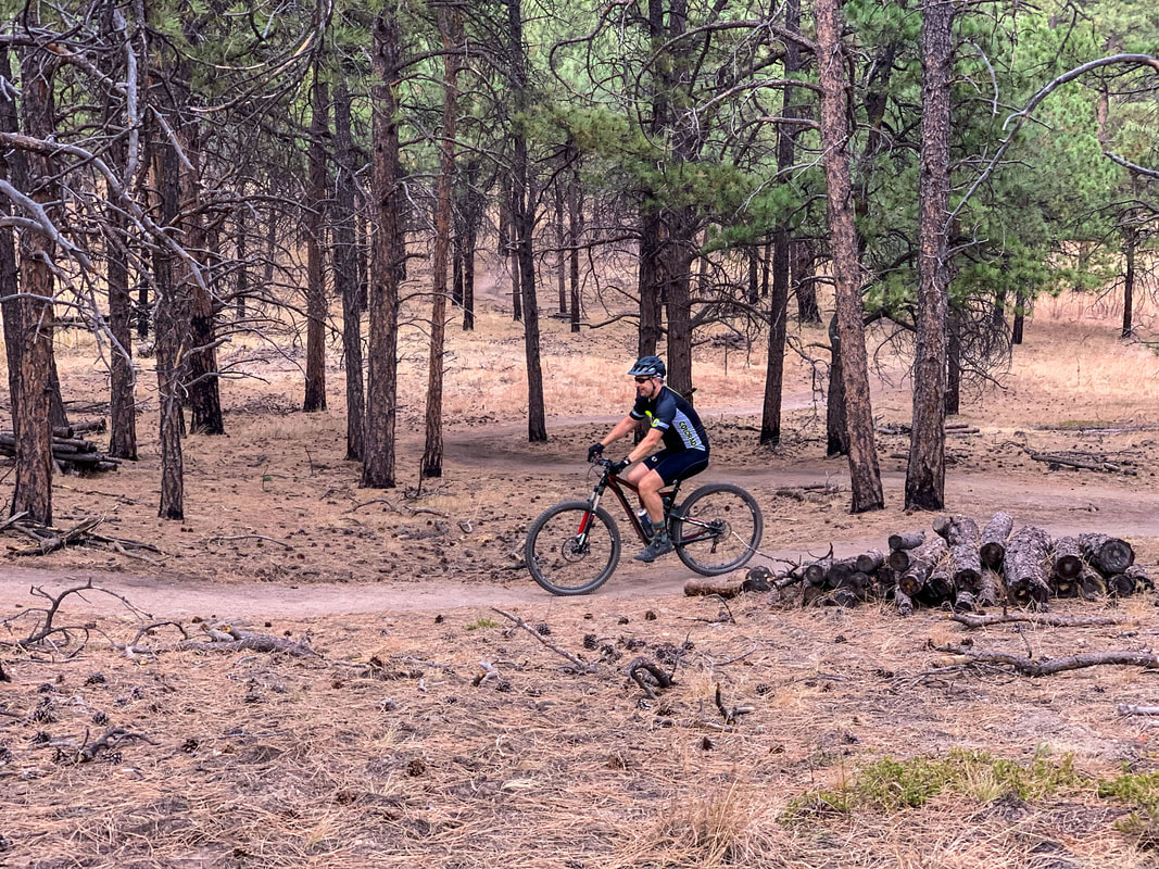
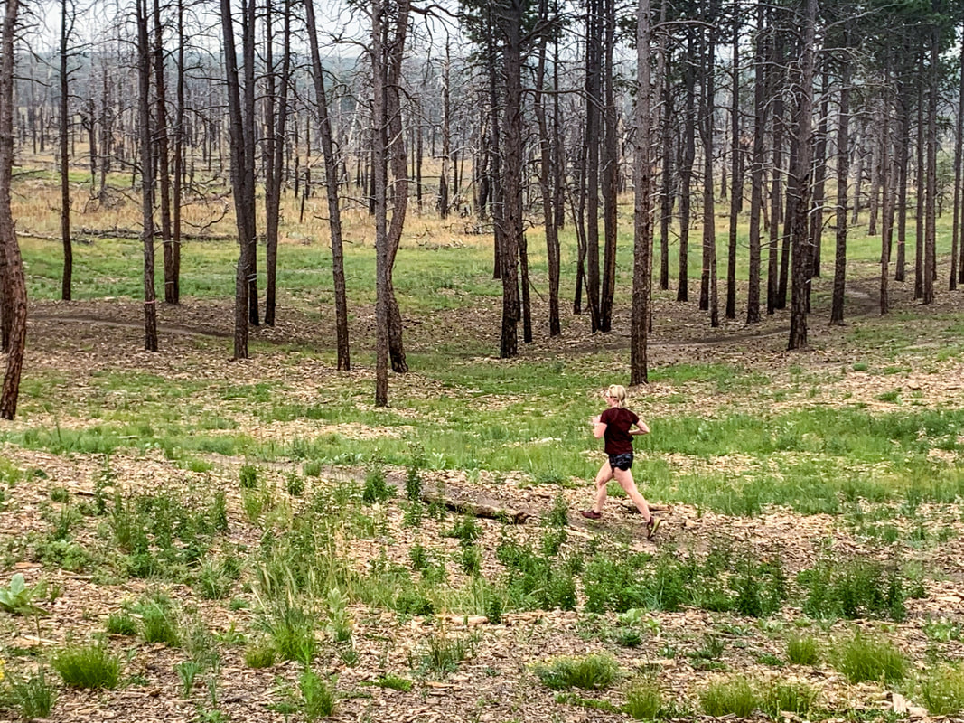
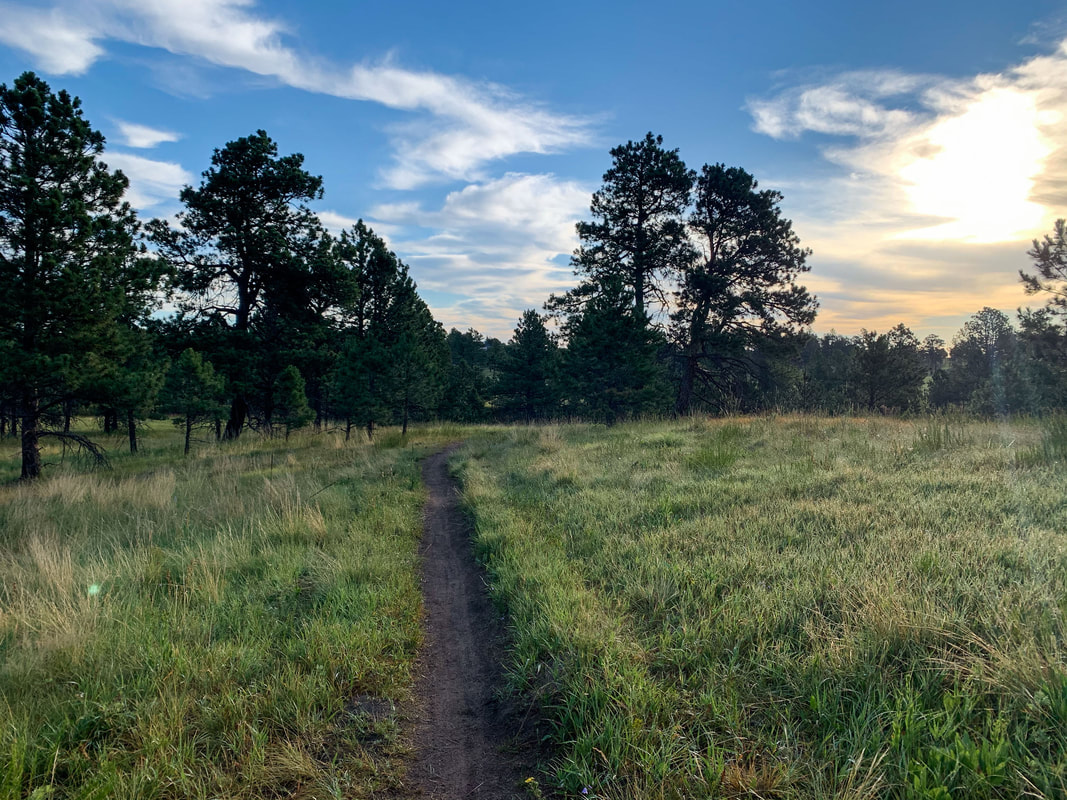
Since we live on the North end of town, this is an easy place to go for a good trail run, flowy mountain bike ride, or an easy long hike. At almost 8 miles, it's a bit on the long side for a flat hike, but you feel like you are deep in the woods and there is plenty of time for delving into the secrets of the Universe. Be wary of mountain bikers flying by trying to improve their Strava times.
|
The pineries trail map
getting there:
Address: The Pineries Open Space, Vollmer Road, Colorado Springs, CO
1) From Colorado Springs, head North on I-25 to Interquest Pkwy.
2) Take Interquest Pkwy East and continue straight as it turns into CO-83N.
3) Turn right on Shoup Road.
4) Take Shoup all the way to Vollmer Road (about 6.2 miles)
5) Turn left onto Vollmer Road and then turn right into the Pineries open Space parking area.


