|
At a glance:
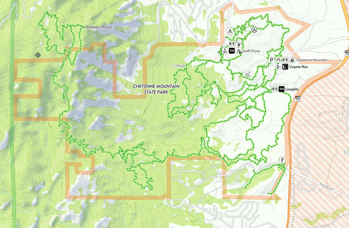
Distance: 28 miles of trails
Difficulty: Easy to moderate to hard Ascent: As much as you want Map Link: Cheyenne Mountain State Park Website: Cheyenne Mountain State Park Google Maps Link: Cheyenne Mountain State Park Dogs: Nope Bikes: Yes |
Cheyenne Mountain State Park
When I worked on the South end of town, we used to go mountain biking, running, and hiking here quite a bit because it was an easy detour on the way home. There are just miles of great trails here for trail running and mountain biking. Some of the trails go deep into the mountains, so there is really no limit on how far you can go.
|
Cheyenne mountain state park
getting there:
Address: 410 JL Ranch Heights, Colorado Springs, CO, 80926
1) From Colorado Springs, head South on I-25 and take exit 140 and turn right on Tejon St.
2) Follow Tejon St. south through the meh, and continue south as it becomes Co-115.
3) You will se Fort Carson on your left and directly across from Gate 1, you will turn right onto JL Ranch Heights Rd. into the State Park.

