|
At a glance:
Distance: 8.25 miles
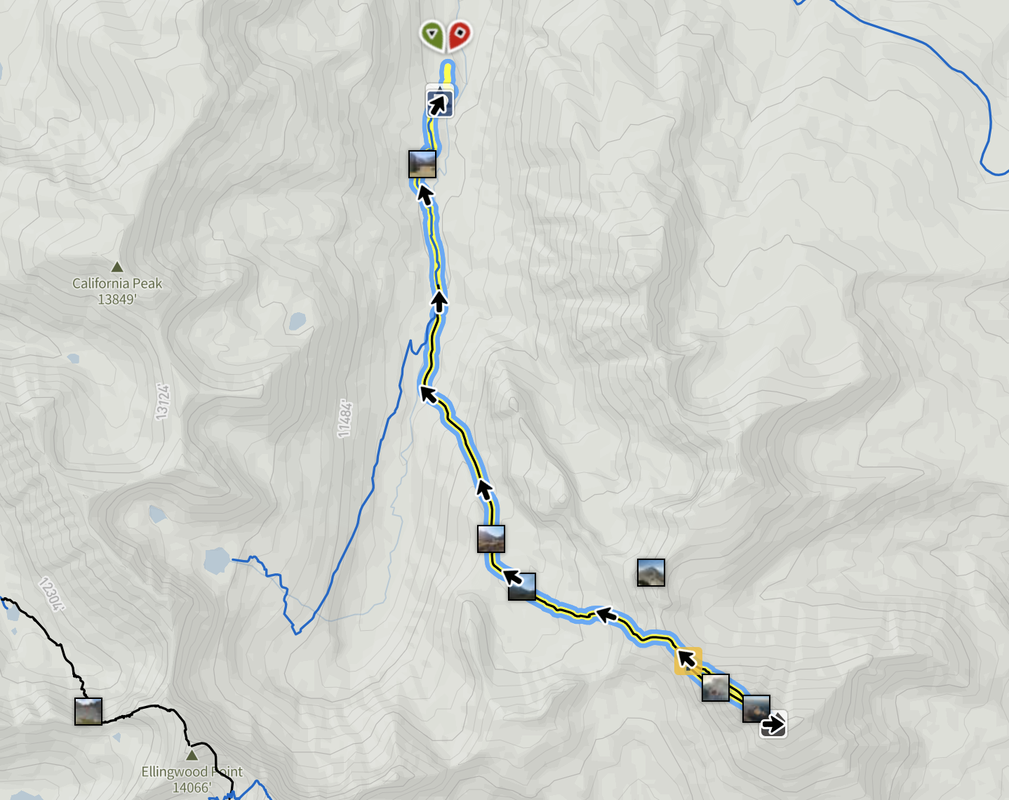
Difficulty: Class 3 Ascent: 3,500 feet Map Link: Mount Lindsey Website: 14ers.com Mount Lindsey Google Maps Link: Mount Lindsey Dogs: On a leash |
Mount Lindsey
Peter did this hike with his friend Josh and his dad Mike. He said it was pretty hairy, but it was his first Class 3 14er. On a separate note, if you ever want to go hiking at speed, go with these guys, Peter and Josh have to be the fastest hikers I have ever seen. Unfortunately, the party pooper who successfully sued the government after getting injured being an idiot on their land has ruined this hike for the rest of us. One of the reasons to go hiking is to forget that as a whole, people suck. Anyway, until this gets resolved the landowners here have asked that people not cross their land above 13,000 feet. On a side note, there is a mountain right next to it called the iron nipple. Intriguing.
|
Mount Lindsey
getting there:
Address:
1) From Colorado Springs, head south of I-25 past Pueblo and toward Walsenburg.
2) Before Walsenburg, take a right and head West on route 610 (Red Rock Road).
3) Take a right on route 69 and head toward Gardner.
4) From Garden head west for about half a mile until you get to the road to Mosca Pass and head up this road.
5) Take this road and head toward Lily Lake (about 22 miles or so). Don't forget your 4WD.
The Hike:
Since this hike has real exposure, and real risk, I would recommend reading the 14ers.com description. There are a lot of parts to this trail that are very dynamic and having the best updated information is imperative for your safety. Study the photos well and download the route to your phone and GPS device. Staying on route is key to your safety on this climb.

